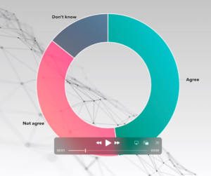
The Telegraph’s inclusive approach to visualizing the news
Simplifying complex information in news stories is key to reader engagement at The Telegraph. Charts and maps from everviz help readers understand at a glance

Build your own custom chart themes including colors, fonts and styling to maintain brand consistency.
Publishing on your website, social media or through your cloud-based newsroom system. You can even download charts and maps them as a static PNG, PDF or SVG.
All charts are responsive on all devices, and have built in state-of-the art support for accessibility (a11y).


Visualize your data with dozens of popular chart, map and table types and publish in minutes.
Engage viewers with interactive visualizations and combine them using our powerful Layout module.
Publishing on your website, social media or through your cloud-based newsroom system. You can even download charts and maps them as a static PNG, PDF or SVG.
Team accounts provide groups with customized workflows, shared workspaces and galleries.
Every visualization is intelligently reconfigured to each visitors desktop or mobile screen size.
All our graphics have built in support for accessibility helping you reach a broader audience (law compliant?)
Keep your charts fresh by pulling data directly from a Google Sheet or other external sources.
High-performance online storage, no need to upgrade your site to handle additional traffic.
Utilize the power of our API for barch updating and webhooks to trigger external events.
Plans that scale based on your needs.
Combine visualizations into splitviews, tabs or carousels using out powerful Layout module.
Connect with our excellent support team or engage with our vibrant community.

Simplifying complex information in news stories is key to reader engagement at The Telegraph. Charts and maps from everviz help readers understand at a glance

Video as an increasingly popular medium for conveying information. Our customers want to know – how do we make engaging videos with beautiful and relevant

The US election this November promises to be one of the biggest stories of the year. A data-driven event, where visualization of vote tallies stands
Lars Hilles gate 39, 5008 Bergen, Norway
everviz © All rights reserved
everviz is a service by Visual Elements of Norway